
Drone provides detailed data about the onset of spring in the Woods.
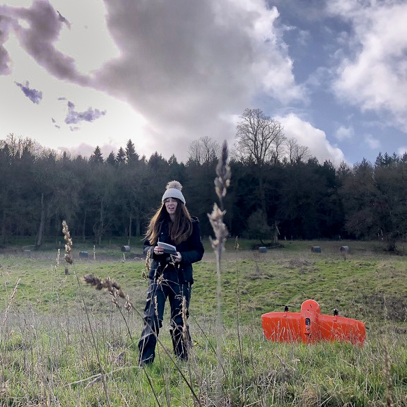
Did you notice an orange drone making flights across the whole of Wytham Woods every few days between March and the start of June?
The equipment was being used by the Wytham Tit Project throughout the 2023 field season, taking multispectral images (capturing the image at different wavelengths of light at the same time) of the canopy.
This will enable researchers from the Wytham Tit Project to map the phenological landscape on a much larger scale than before; providing more detailed data which can feed into the study of how birds time their egg-laying to synchronise with the trees producing new leaves. This timing is crucial because the caterpillars need to feed on them, and the birds need an abundance of caterpillars to feed their chicks.
The videos below demonstrate how the multispectral images feed through into visual data which we can comprehend. The darker video is made from images captured in early March, while the lighter one is from the middle of May. The more yellow the video appears, the more leaves are on the trees.
You can follow the Wytham Tit Project on Twitter to get the latest data about the 2023 field season as it emerges.
Please follow our drone guidance here for permissions: https://www.wythamwoods.ox.ac.uk/drone-flying
Contact us
- oge@admin.ox.ac.uk
- 01865 614460